Geological Maps
A geological map is a special-purpose map made to show geological features. These maps show the types and ages of rocks, the structure of the Earth's crust, and the locations of faults and folds. They are essential tools for understanding the Earth's history and for locating natural resources such as minerals, water, and petroleum.
Key Features of Geological Maps
- Colors and Patterns: Different colors and patterns are used to represent different types of rocks and geological formations.
- Legend: The map will have a legend that explains the symbols and colors used to represent different geological features.
- Geological Symbols: These symbols represent features such as faults, folds, and outcrops of rock layers.
- Scale: The map will have a scale to indicate the relationship between the distances on the map and the actual distances on the Earth's surface.
- Topography: The map also includes contour lines to show the elevation of the land.
How to Read a Geological Map
Reading a geological map involves understanding the symbols, colors, and patterns used to represent geological features. Here are some steps to follow:
- Start by examining the legend to understand the meanings of the different colors, patterns, and symbols.
- Look for patterns and trends in the distribution of rocks and formations. For example, you might see a pattern of sedimentary rocks near a river, indicating past deposition.
- Pay attention to the scale and topography to understand the elevation and relief of the land.
- Identify any faults or folds that are represented on the map, as these can provide important information about the history of the area.
Uses of Geological Maps
Geological maps have several important uses:
- Resource Exploration: They are essential for locating valuable resources such as minerals, oil, and natural gas.
- Land Use Planning: They help in determining suitable locations for construction, agriculture, and infrastructure development.
- Environmental Protection: They aid in identifying areas that need protection due to their geological significance.
- Education and Research: They are indispensable for studying the Earth's history and geological processes.
Study Tips
Here are some tips for studying geological maps:
- Practice interpreting geological maps and legends to familiarize yourself with the symbols and colors.
- Try to relate the geological features shown on the map to the actual landscape in your area or in photographs.
- Use online resources and interactive geological map tools to gain more experience in reading and interpreting geological maps.
- Work on sample problems and exercises to test your understanding of geological map reading.
By following these study tips and understanding the key features of geological maps, you will be well-prepared to interpret and analyze geological maps effectively.
.◂Biology Worksheets and Study Guides High School. Microorganisms I
Worksheet/Answer key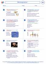 Microorganisms I
  Worksheet/Answer key
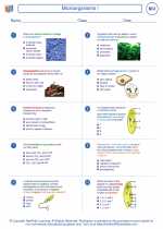 Microorganisms I
  Worksheet/Answer key
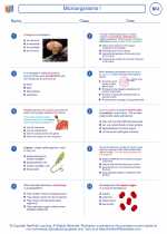 Microorganisms I
  Worksheet/Answer key
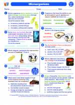 Microorganisms I
  Vocabulary/Answer key
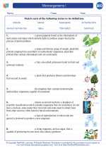 Microorganisms I
  Vocabulary/Answer key
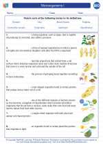 Microorganisms I
  Vocabulary/Answer key
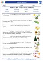 Microorganisms I
  Vocabulary/Answer key
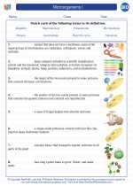 Microorganisms I
  Vocabulary/Answer key
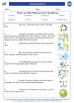 Microorganisms I

 Worksheet/Answer key
 Worksheet/Answer key
 Worksheet/Answer key
 Vocabulary/Answer key
 Vocabulary/Answer key
 Vocabulary/Answer key
 Vocabulary/Answer key
 Vocabulary/Answer key

The resources above cover the following skills:
BIOLOGY
Unity and Diversity
Obtain, evaluate, and communicate information to explain how organisms are classified by physical characteristics, organized into levels of taxonomy, and identified by binomial nomenclature (e.g., taxonomic classification, dichotomous keys).
Engage in argument to justify the grouping of viruses in a category separate from living things.