Field Surveys
A field survey is a method of collecting data or information about a particular area of land, water, or other natural features. Field surveys are commonly used in earth science to gather data for mapping, environmental assessment, resource management, and more. They involve direct observation, measurement, and data collection in the natural environment.
Types of Field Surveys
There are various types of field surveys, including:
- Topographic Surveys: These surveys focus on mapping the shape and elevation of the land surface.
- Geological Surveys: These surveys involve studying the structure, composition, and history of the Earth's crust.
- Environmental Surveys: These surveys assess the impact of human activities on the natural environment.
- Biological Surveys: These surveys focus on studying the distribution and abundance of plant and animal species in a particular area.
Methods and Techniques
Field surveys employ a variety of methods and techniques, including:
- Mapping: Using tools such as GPS devices, aerial photography, and geographic information systems (GIS) to create accurate maps of the surveyed area.
- Sampling: Collecting and analyzing samples of soil, water, rocks, or vegetation to understand the characteristics of the environment.
- Observation: Making detailed observations of natural features, landforms, and geological formations.
- Measurements: Taking precise measurements of features such as elevation, slope, and distance using instruments like theodolites, clinometers, and tape measures.
Study Guide
If you are studying field surveys, here are some key points to focus on:
- Understand the purpose and importance of field surveys in earth science.
- Learn about the different types of field surveys and their specific applications.
- Explore the tools and techniques used in field surveys, including mapping, sampling, and measurement instruments.
- Understand how field survey data is collected, processed, and analyzed to draw conclusions about the natural environment.
- Consider the ethical and environmental considerations involved in conducting field surveys and the potential impact on the surveyed area.
By mastering these concepts, you will develop a solid understanding of field surveys and their role in earth science.
.◂Earth Science Worksheets and Study Guides High School. Earth's Crust
Worksheet/Answer key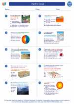 Earths Crust
  Worksheet/Answer key
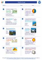 Earths Crust
  Worksheet/Answer key
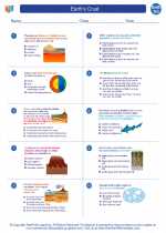 Earths Crust
  Vocabulary/Answer key
 Earths Crust
  Vocabulary/Answer key
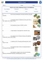 Earths Crust
  Vocabulary/Answer key
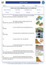 Earths Crust

 Worksheet/Answer key
 Worksheet/Answer key
 Vocabulary/Answer key
 Vocabulary/Answer key
 Vocabulary/Answer key

The resources above cover the following skills:
Earth Science
History of Earth
Develop a model to illustrate how Earth’s internal and surface processes operate at different spatial and temporal scales to form continental and ocean-floor features.
Earth Science
History of Earth
Develop a model to illustrate how Earth’s internal and surface processes operate at different spatial and temporal scales to form continental and ocean-floor features.
Earth Science
History of Earth
Develop a model to illustrate how Earth’s internal and surface processes operate at different spatial and temporal scales to form continental and ocean-floor features.
Earth Science
History of Earth
Develop a model to illustrate how Earth’s internal and surface processes operate at different spatial and temporal scales to form continental and ocean-floor features.