Geological Maps
A geological map is a special-purpose map made to show geological features. These features can include rock types, mineral deposits, faults, and other structures. The map provides a visual representation of the geology of a specific area.
Key Components of Geological Maps
Geological maps contain several key components:
- Legend: This provides a key to the symbols and colors used to represent different geological features.
- Rock Units: Different rock types are represented by different colors or patterns on the map.
- Structural Features: Faults, folds, and other structural elements are indicated on the map.
- Geological Symbols: Symbols are used to represent specific geological features such as fossil locations, mineral deposits, or geological boundaries.
Interpreting Geological Maps
Interpreting a geological map involves understanding the symbols, colors, and patterns used to represent geological features. It also requires knowledge of geological principles and the ability to visualize the three-dimensional geology of an area from a two-dimensional map.
Applications of Geological Maps
Geological maps are used in various fields, including:
- Geological Research: Scientists use geological maps to study the distribution of rock types, structures, and geological history of an area.
- Resource Exploration: Mining companies use geological maps to locate potential mineral deposits.
- Engineering Projects: Civil engineers use geological maps to plan construction projects, such as roads, tunnels, and dams, taking into account the geological conditions of the area.
Study Guide
To understand geological maps, students should focus on the following topics:
- Understanding rock types and how they are represented on a geological map.
- Interpreting geological symbols and their meanings.
- Recognizing key structural features, such as faults and folds, on a geological map.
- Using a legend to interpret the various elements of a geological map.
- Applying geological maps to real-world scenarios, such as resource exploration or engineering projects.
By mastering these topics, students can gain a solid understanding of geological maps and their practical applications.
.◂Physics Worksheets and Study Guides High School. Light and Optics
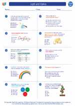
 Worksheet/Answer key
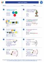
 Worksheet/Answer key
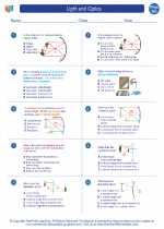
 Worksheet/Answer key
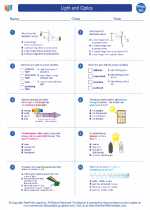
 Vocabulary/Answer key
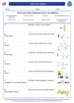
 Vocabulary/Answer key
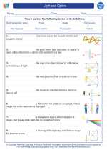
 Vocabulary/Answer key