Navigation
Navigation is the process of accurately determining the position and controlling the movement of a craft or vehicle from one place to another. It involves the use of various methods, tools, and technologies to find and follow a specific course.
Types of Navigation
There are several methods of navigation, including:
- Celestial Navigation: This method involves using the positions of celestial bodies, such as the sun, moon, and stars, to determine a vessel's position.
- Dead Reckoning: Dead reckoning involves calculating the current position of a craft based on a previously determined position, and then advancing that position based on estimated speed, time, and course.
- GPS Navigation: GPS (Global Positioning System) uses satellite signals to determine the exact location of a vessel or vehicle.
- Inertial Navigation: Inertial navigation uses gyroscopes and accelerometers to continuously calculate the position, orientation, and velocity of a craft.
- Radio Navigation: This method uses radio signals, such as VOR (VHF Omnidirectional Range) or ADF (Automatic Direction Finder), to determine the direction and distance to a radio transmitter.
Key Concepts in Navigation
When studying navigation, it's important to understand the following key concepts:
- Latitude and Longitude: These are the angular measurements that define a point's location on the Earth's surface.
- Compass and Bearings: A compass is a navigational instrument for determining direction relative to the Earth's magnetic poles. Bearings are the angles between the direction of an object and the meridian.
- Speed, Time, and Distance: Calculating speed, time, and distance is crucial for determining the position of a craft and estimating the time of arrival at a destination.
- Map Reading and Chart Navigation: Interpreting maps and nautical charts is essential for plotting a course and avoiding hazards.
Study Guide
When studying navigation, it's important to focus on the following areas:
- Understand the basic principles of celestial navigation and how to use celestial bodies for determining position.
- Learn how to calculate dead reckoning and understand its limitations and sources of error.
- Master the principles of GPS navigation and how to use GPS devices for accurate positioning.
- Explore the concept of inertial navigation and its applications in modern navigation systems.
- Understand the use of radio navigation aids and their importance in aviation and maritime navigation.
- Practice map reading and chart navigation skills to interpret and use navigational charts effectively.
By mastering these areas, you will develop a comprehensive understanding of navigation and its various methods, ensuring accurate and safe travel from one point to another.
.◂Physics Worksheets and Study Guides High School. Measurements and Calculations
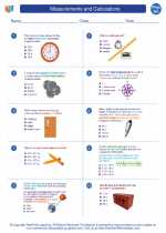
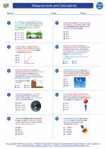
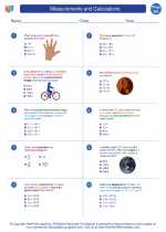
Worksheet/Answer key Measurements and Calculations
  Worksheet/Answer key
 Measurements and Calculations
  Worksheet/Answer key
 Measurements and Calculations

 Worksheet/Answer key
 Worksheet/Answer key

The resources above cover the following skills:
Science Process Skills: Scientific Inquiry and Critical Thinking Skills
Making Observations and Asking Questions: Students will apply skills from previous grades and make measurements and observations about a variety of events and phenomena, including those that occur during very small and very large time frames.