Topography
Topography is the study of the shape and features of the land surface. It involves the measurement and mapping of the Earth's surface, including its elevation, slope, and the position of natural and human-made features.
Key Concepts
- Elevation: This refers to the height of a landform above a reference point, such as sea level. Elevation is a key component of topography and is often represented using contour lines on a topographic map.
- Contour Lines: These are lines on a map that connect points of equal elevation. By studying contour lines, one can visualize the shape and steepness of the land surface.
- Topographic Maps: These specialized maps depict the three-dimensional features of the land surface on a two-dimensional surface. They use contour lines, symbols, and colors to represent elevation, vegetation, water bodies, and human-made structures.
- Landforms: Topography includes the study of various landforms such as mountains, valleys, plains, plateaus, and hills. These landforms are created through geological processes such as erosion, tectonic activity, and weathering.
- Human Impact: Topography also considers the influence of human activities on the land surface, including urban development, agriculture, and infrastructure.
Study Guide
To understand topography, consider the following questions:
- What is the importance of understanding topography in geography and environmental science?
- How are contour lines used to represent elevation on a topographic map?
- What are the major landforms studied in topography, and what geological processes contribute to their formation?
- How can human activities alter the topography of an area, and what are the potential environmental impacts?
- What tools and technologies are used to measure and map the Earth's surface in topography?
By exploring these questions and learning about the key concepts of topography, you can develop a deeper understanding of the Earth's surface and its features.
.◂Science Worksheets and Study Guides Third Grade. Weather
Study Guide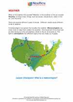 Weather
  Worksheet/Answer key
 Weather
  Worksheet/Answer key
 Weather
  Worksheet/Answer key
 Weather
  Vocabulary/Answer key
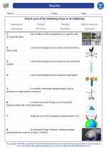 Weather
  Vocabulary/Answer key
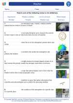 Weather

 Worksheet/Answer key
 Worksheet/Answer key
 Worksheet/Answer key
 Vocabulary/Answer key
 Vocabulary/Answer key

The resources above cover the following skills:
EARTH AND SPACE SCIENCE (NGSS)
Earth’s Systems
Students who demonstrate understanding can:
Represent data in tables and graphical displays to describe typical weather conditions expected during a particular season.