Weather and Climate -> navigation
Navigation
Navigation is the process of planning, recording, and controlling the movement of a craft or vehicle from one place to another. It involves using tools, such as maps, compasses, GPS systems, and knowledge of celestial bodies, to determine direction and navigate the Earth's surface, the sea, or the sky.
Types of Navigation
There are several methods of navigation, including:
- Land Navigation: This involves using maps, compasses, landmarks, and GPS systems to navigate on land.
- Marine Navigation: Navigating ships and boats across bodies of water using nautical charts, compasses, and electronic navigation systems.
- Celestial Navigation: Using the sun, moon, stars, and planets to determine a position and course on the Earth.
- Air Navigation: Piloting and navigating aircraft through the sky using instruments, radio navigation aids, and GPS systems.
Tools of Navigation
Various tools are used in navigation, including:
- Maps: Visual representation of an area, showing geographical features, roads, and landmarks.
- Compass: An instrument for determining directions, often using the Earth's magnetic field.
- GPS (Global Positioning System): A satellite-based navigation system that provides location and time information anywhere on Earth.
- Sextant: A tool used in celestial navigation to measure the angle between a celestial body and the horizon.
- Chronometer: A highly accurate clock used for determining longitude at sea.
Study Guide
To understand navigation, it is important to study the following topics:
- Basic principles of maps and map reading
- Understanding latitude and longitude
- Use of compass and magnetic declination
- GPS technology and its applications
- Celestial navigation and its historical significance
- Navigation rules and regulations for different modes of transportation
By mastering these topics, you will gain a comprehensive understanding of navigation and the tools used to navigate effectively on land, sea, and air.
.◂Science Worksheets and Study Guides Fourth Grade. Weather and Climate
Study Guide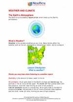 Weather and climate
  Activity Lesson
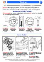 Weather
  Worksheet/Answer key
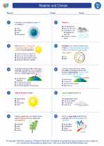 Weather and climate
  Worksheet/Answer key
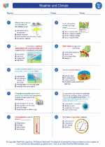 Weather and climate
  Worksheet/Answer key
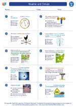 Weather and climate
  Worksheet/Answer key
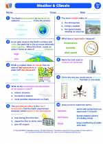 Weather and Climate
  Vocabulary/Answer key
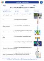 Weather and climate
  Vocabulary/Answer key
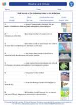 Weather and climate
  Vocabulary/Answer key
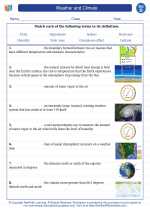 Weather and climate
  Vocabulary/Answer key
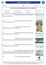 Weather and climate

 Activity Lesson
 Worksheet/Answer key
 Worksheet/Answer key
 Worksheet/Answer key
 Worksheet/Answer key
 Vocabulary/Answer key
 Vocabulary/Answer key
 Vocabulary/Answer key
 Vocabulary/Answer key

The resources above cover the following skills:
Concepts of Earth Science (SD1, SD2, SD3, SD4)
The student demonstrates an understanding of the forces that shape Earth by identifying causes (i.e., earthquakes, tsunamis, volcanoes, floods, landslides, and avalanches) of rapid changes on the surface.