Topography
Topography is the study of the shape and features of the surface of the Earth and other planets and celestial bodies. It involves the measurement and mapping of the land's elevation, slope, and other physical features.
Key Concepts
- Elevation: The height of a point on the Earth's surface above sea level.
- Contour Lines: Lines on a map that connect points of equal elevation.
- Slope: The steepness or incline of the land's surface.
- Topographic Maps: Maps that represent the three-dimensional features of the Earth's surface in two dimensions.
- Landforms: Natural features of the Earth's surface, such as mountains, valleys, and plains.
Study Guide
- What is topography and what does it study?
- What are contour lines and what do they represent?
- How do topographic maps represent three-dimensional features in two dimensions?
- Give examples of landforms that are studied in topography.
Answer: Topography is the study of the shape and features of the surface of the Earth and other celestial bodies. It involves the measurement and mapping of the land's elevation, slope, and physical features.
Answer: Contour lines are lines on a map that connect points of equal elevation. They represent the shape and elevation of the land's surface.
Answer: Topographic maps use contour lines, shading, and other symbols to represent the elevation, slope, and landforms of a particular area.
Answer: Landforms studied in topography include mountains, valleys, plateaus, and plains.
By understanding topography, we can gain insights into the Earth's surface and better navigate and utilize its features for various purposes including construction, urban planning, and environmental conservation.
.◂Science Worksheets and Study Guides Sixth Grade. Plate Tectonics
 Worksheet/Answer key
 Worksheet/Answer key
 Vocabulary/Answer key
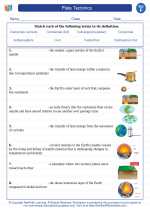
 Vocabulary/Answer key
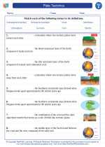
 Vocabulary/Answer key
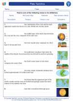
 Vocabulary/Answer key