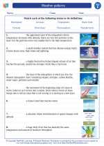
Weather patterns -> navigation
Navigation
Navigation is the process of determining the position and direction of a moving object. It is essential for various activities such as travel, exploration, and maritime operations. There are several methods and tools used for navigation, including celestial navigation, compass navigation, GPS, and maps.
Celestial Navigation
Celestial navigation is a method of navigating by using the positions of celestial bodies, such as stars and planets, to determine the direction and location of a vessel or aircraft. This method has been used for centuries and relies on accurate observations of celestial bodies and the use of specialized instruments such as sextants.
Compass Navigation
Compass navigation involves using a magnetic compass to determine the direction of travel. A compass works by aligning itself with the Earth's magnetic field, allowing the user to determine the cardinal directions (north, south, east, west) and navigate accordingly.
GPS (Global Positioning System)
GPS is a satellite-based navigation system that provides real-time location and time information anywhere on Earth. It uses a network of satellites to transmit signals to GPS receivers, allowing users to determine their precise location, speed, and direction.
Maps
Maps are visual representations of the Earth's surface or a region, showing geographical features, roads, and landmarks. They are essential tools for navigation, providing a visual reference for determining location, planning routes, and understanding the terrain.
Study Guide
- What is navigation and why is it important?
- Explain the concept of celestial navigation and its historical significance.
- How does a compass work, and what are its limitations?
- Describe the functioning of GPS and its impact on modern navigation.
- Discuss the different types of maps and their uses in navigation.
- Compare and contrast the advantages and disadvantages of celestial navigation, compass navigation, and GPS.
- Explore the role of navigation in various fields such as aviation, maritime operations, and outdoor recreation.
By understanding the principles and methods of navigation, individuals can develop essential skills for safely and effectively determining their position and direction during travel and exploration.
.◂Science Worksheets and Study Guides Sixth Grade. Weather patterns
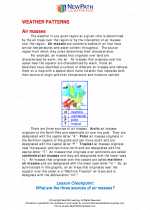
 Worksheet/Answer key
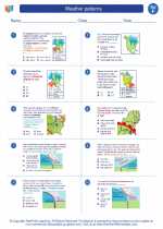
 Worksheet/Answer key
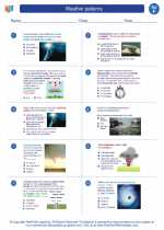
 Worksheet/Answer key
 Vocabulary/Answer key
 Vocabulary/Answer key
 Vocabulary/Answer key
 Vocabulary/Answer key