Geological Maps
A geological map is a specialized map that shows the distribution of various types of rocks and geological features on the Earth's surface. These maps are used by geologists, engineers, and other professionals to understand the composition and structure of the Earth's crust in a given area.
Key Components of Geological Maps
- Geological Units: These are the different types of rocks and geological formations present in the area. They are represented by different colors or patterns on the map.
- Geological Structures: These include features such as folds, faults, and other structural elements that are important for understanding the tectonic history of the area.
- Topographic Information: Geological maps often include topographic details such as elevation contours, rivers, and other physical features of the landscape.
- Legend: This is a key that explains the symbols and colors used on the map, allowing users to interpret the geological information presented.
Interpreting Geological Maps
Interpreting a geological map involves understanding the relationships between different rock units, identifying geological structures, and recognizing patterns in the distribution of rocks and features. Some key aspects to consider include:
- Stratigraphy: The arrangement and relative ages of different rock layers.
- Structural Geology: The orientation and deformation of rock layers, including the presence of faults and folds.
- Geological History: The tectonic and depositional history of the area, including events such as mountain building, erosion, and sedimentation.
Study Guide for Geological Maps
If you're studying geological maps, here are some key topics to focus on:
- Understanding the basic components of a geological map, including geological units, structures, and topographic information.
- Learning how to read and interpret the legend of a geological map to understand the meaning of different symbols and colors.
- Practicing the interpretation of geological features such as faults, folds, and different types of rock formations.
- Exploring the relationship between geological maps and other geospatial data, such as satellite imagery and aerial photographs.
- Studying the application of geological maps in real-world scenarios, such as mineral exploration, engineering projects, and environmental assessments.
By mastering these concepts, you'll develop a strong foundation in understanding and using geological maps for various purposes.
.◂Science Worksheets and Study Guides Seventh Grade. Introduction to Plants
Study Guide Introduction to Plants
  Worksheet/Answer key
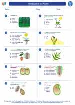 Introduction to Plants
  Worksheet/Answer key
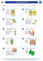 Introduction to Plants
  Worksheet/Answer key
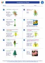 Introduction to Plants
  Worksheet/Answer key
 Introduction to Plants
  Vocabulary/Answer key
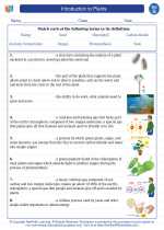 Introduction to Plants
  Vocabulary/Answer key
 Introduction to Plants
  Vocabulary/Answer key
 Introduction to Plants
  Vocabulary/Answer key
 Introduction to Plants
  Vocabulary/Answer key
 Introduction to Plants

 Worksheet/Answer key
 Worksheet/Answer key
 Worksheet/Answer key
 Worksheet/Answer key
 Vocabulary/Answer key
 Vocabulary/Answer key
 Vocabulary/Answer key
 Vocabulary/Answer key
 Vocabulary/Answer key

The resources above cover the following skills:
LIFE SCIENCE
Ecosystems: Interactions, Energy, and Dynamics
Use evidence and scientific reasoning to explain how characteristic animal behaviors (e.g., building nests to protect young from cold, herding to protect young from predators, attracting mates for breeding by producing special sounds and displaying colorful plumage, transferring pollen or seeds to create conditions for seed germination and growth) and specialized plant structures (e.g., flower brightness, nectar, and odor attracting birds that transfer pollen; hard outer shells on seeds providing protection prior to germination) affect the probability of successful reproduction of both animals and plants.