Topography
Topography is the study of the shape and features of the land surface, including the physical relief and elevation of the Earth's surface. It involves the measurement and description of the physical features of a region, such as mountains, valleys, rivers, and lakes.
Key Concepts
- Elevation: The height of a land surface above a reference point, usually sea level.
- Relief: The difference in elevation between the highest and lowest points in an area.
- Topographic Maps: Maps that represent the three-dimensional features of the Earth's surface on a two-dimensional surface.
- Contour Lines: Lines on a topographic map that connect points of equal elevation.
- Landforms: Natural features of the Earth's surface, such as mountains, hills, valleys, and plains.
Study Guide
Use the following study guide to review and reinforce your understanding of topography:
- Define topography and explain its significance in geology and geography.
- Describe the difference between elevation and relief, and provide examples of each.
- Explain the purpose and use of topographic maps, and how contour lines represent elevation on these maps.
- Identify and describe at least five different landforms and their characteristics.
- Discuss the impact of topography on natural processes such as erosion, weathering, and the flow of water.
- Compare and contrast the topography of different regions, such as coastal areas, plains, and mountainous regions.
- Examine the relationship between topography and human activities, such as urban development, agriculture, and transportation.
- Discuss the importance of understanding topography in fields such as civil engineering, environmental science, and urban planning.
◂Science Worksheets and Study Guides Seventh Grade. Weathering of rocks and soil formation
Study Guide Weathering of rocks and soil formation
  Activity Lesson
 Weathering of Rocks
  Worksheet/Answer key
 Weathering of rocks and soil formation
  Worksheet/Answer key
 Weathering of rocks and soil formation
  Worksheet/Answer key
 Weathering of rocks and soil formation
  Worksheet/Answer key
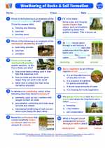 Weathering of rocks and soil formation
  Vocabulary/Answer key
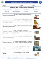 Weathering of rocks and soil formation
  Vocabulary/Answer key
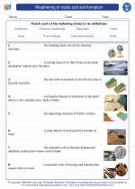 Weathering of rocks and soil formation
  Vocabulary/Answer key
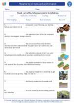 Weathering of rocks and soil formation
  Vocabulary/Answer key
 Weathering of rocks and soil formation

 Activity Lesson
 Worksheet/Answer key
 Worksheet/Answer key
 Worksheet/Answer key
 Worksheet/Answer key
 Vocabulary/Answer key
 Vocabulary/Answer key
 Vocabulary/Answer key
 Vocabulary/Answer key

The resources above cover the following skills:
LIFE SCIENCE
Unity and Diversity
Analyze and interpret data for patterns of change in anatomical structures of organisms using the fossil record and the chronological order of fossil appearance in rock layers.