Geological Maps
A geological map is a specialized type of map that shows the distribution of various types of rocks and geological features on the Earth's surface. These maps are used by geologists, engineers, and other professionals to understand the composition and structure of the Earth's crust in a given area.
Key Components of Geological Maps
- Rock Units: Geological maps use different colors, patterns, or symbols to represent different types of rock formations. These formations may include sedimentary, igneous, and metamorphic rocks.
- Geological Structures: Maps also show features such as faults, folds, and other structural elements that provide insights into the deformation and movement of the Earth's crust.
- Topographic Information: Geological maps often include contour lines to depict the elevation and topography of the land surface.
- Legend and Key: These maps have a legend that explains the symbols and colors used to represent different geological features.
- Scale: The scale of the map is critical for understanding the spatial relationships and distances between different geological features.
Interpreting Geological Maps
Interpreting a geological map requires an understanding of geological principles and the ability to read and analyze the information presented. Here are some key steps for interpreting geological maps:
- Identify Rock Units: Look for patterns and colors that represent different rock formations. Pay attention to boundaries between different units and any symbols or annotations that provide additional information.
- Recognize Geological Structures: Note the presence of faults, folds, and other structural features that may impact the distribution of rock units.
- Consider Topographic Information: Understand how the topography of the area influences the distribution and exposure of different rock units.
- Use the Legend and Key: Refer to the legend to understand the meaning of symbols and colors used on the map.
- Apply Scale and Orientation: Consider the scale of the map and the direction of north to accurately interpret spatial relationships.
Study Guide for Geological Maps
If you're studying geological maps, here are some key concepts to focus on:
- Understanding the different types of rock formations and how they are represented on geological maps.
- Recognizing geological structures and their significance in understanding the history and tectonic processes of an area.
- Practicing map reading skills, including interpreting legends, scales, and orientation information.
- Exploring real-world examples of geological maps and applying your knowledge to interpret the geological history of specific locations.
- Engaging with hands-on activities such as creating your own simplified geological maps based on local terrain and rock exposures.
By mastering these concepts and skills, you'll develop a solid foundation for interpreting and utilizing geological maps in your scientific studies and professional endeavors.
.◂Science Worksheets and Study Guides Eighth Grade. Organic compounds
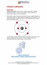
 Worksheet/Answer key
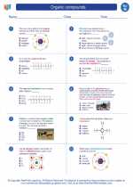
 Worksheet/Answer key
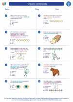
 Worksheet/Answer key
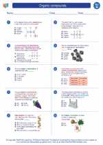
 Vocabulary/Answer key
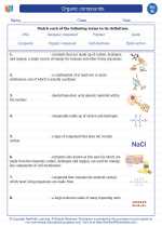
 Vocabulary/Answer key