Topography: Understanding the Earth's Surface
Topography is the study of the shape and features of the Earth's surface, including its elevation, terrain, and the distribution of natural and man-made features. It is an important field of study in geography, geology, and environmental science, as it helps us understand the physical characteristics of the land and how they influence natural processes and human activities.
Key Concepts in Topography
- Elevation: This refers to the height of a particular point on the Earth's surface above sea level. Elevation is a crucial aspect of topography, as it helps in determining the relief and slope of the land.
- Relief: The relief of an area refers to the differences in elevation between its highest and lowest points. It is an important factor in understanding the topography of a region and is often depicted using contour lines on topographic maps.
- Landforms: Topography is closely related to the study of landforms, such as mountains, valleys, plains, and plateaus. These landforms are shaped by various geological processes and are a key component of a region's topography.
- Topographic Maps: These maps are specialized tools used to represent the three-dimensional surface of the Earth in a two-dimensional format. They use contour lines, symbols, and colors to depict elevation, landforms, and other features.
Importance of Topography
Understanding topography is essential for several reasons:
- It helps in assessing the suitability of a location for various activities, such as agriculture, construction, and urban planning.
- Topography plays a crucial role in understanding the distribution of water bodies, drainage patterns, and the potential for flooding or erosion in a region.
- It provides valuable information for navigation, engineering, and natural resource management.
Studying Topography
To understand topography, students should focus on the following areas:
- Learn to read and interpret topographic maps, including understanding contour lines, scale, and symbols.
- Explore the geological processes that shape the Earth's surface, such as erosion, tectonic activity, and weathering.
- Understand how human activities can modify the topography of an area, through activities such as mining, deforestation, and urban development.
- Consider the impact of topography on environmental factors like climate, soil formation, and biodiversity.
By mastering these concepts, students can develop a comprehensive understanding of topography and its significance in the study of the Earth's surface.
.◂Science Worksheets and Study Guides Eighth Grade. Plate tectonics
Study Guide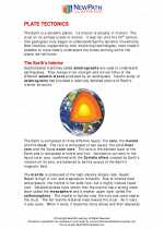 Plate tectonics
  Activity Lesson
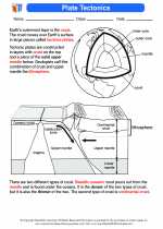 Plate Tectonics
  Worksheet/Answer key
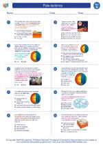 Plate tectonics
  Worksheet/Answer key
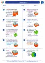 Plate tectonics
  Worksheet/Answer key
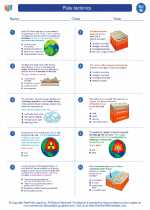 Plate tectonics
  Worksheet/Answer key
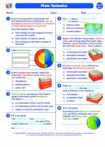 Plate tectonics
  Vocabulary/Answer key
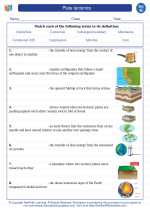 Plate tectonics
  Vocabulary/Answer key
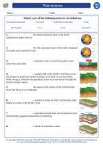 Plate tectonics
  Vocabulary/Answer key
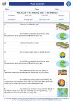 Plate tectonics
  Vocabulary/Answer key
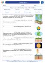 Plate tectonics
  Vocabulary/Answer key
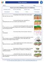 Plate tectonics
  Vocabulary/Answer key
 Plate tectonics
  Vocabulary/Answer key
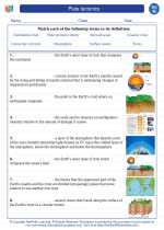 Plate tectonics

 Activity Lesson
 Worksheet/Answer key
 Worksheet/Answer key
 Worksheet/Answer key
 Worksheet/Answer key
 Vocabulary/Answer key
 Vocabulary/Answer key
 Vocabulary/Answer key
 Vocabulary/Answer key
 Vocabulary/Answer key
 Vocabulary/Answer key
 Vocabulary/Answer key
