Geological Maps
A geological map is a specialized map that shows the distribution of various types of rocks and geological features across a specific area of the Earth's surface. These maps are essential for understanding the geological history and structure of a region, and they are used by geologists, engineers, and other professionals to plan construction projects, assess natural resources, and study environmental impacts.
Key Components of Geological Maps
- Rock Units: Different types of rocks are represented by different colors or patterns on the map.
- Geological Structures: Features such as faults, folds, and stratigraphic layers are depicted to show the arrangement of rock layers.
- Topographic Information: Elevation contours and other topographic details help to understand the landscape.
- Legend: A key that explains the symbols and colors used on the map.
How to Read a Geological Map
Understanding geological maps requires knowledge of the symbols, colors, and patterns used to represent different types of rocks and geological features. Here are some key steps for reading a geological map:
- Refer to the legend to understand the meaning of the symbols and colors used on the map.
- Identify the different rock units and geological structures represented on the map.
- Examine the relationships between different rock units, such as faults, folds, and other geological features.
- Consider the topographic information to understand how the geology relates to the landscape.
Study Tips
Here are some tips for studying geological maps:
- Practice identifying different rock units and geological structures on maps.
- Use additional resources such as geological reports and field studies to deepen your understanding of specific map areas.
- Work with a partner or study group to discuss and interpret geological maps together.
- Visit geological sites and observe the actual rock formations to connect the map representations with real-world geology.
[Geological Maps] Related Worksheets and Study Guides:
.◂Science Worksheets and Study Guides Kindergarten. Our Earth
Coloring Worksheet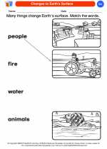 Changes to Earth's Surface
  Coloring Worksheet
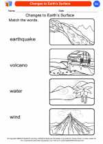 Changes to Earth's Surface
  Coloring Worksheet
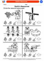 Earth's Resources
  Coloring Worksheet
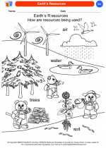 Earth's Resources
  Coloring Worksheet
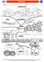 Landforms
  Coloring Worksheet
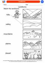 Landforms
  Coloring Worksheet
 Our Earth
  Coloring Worksheet
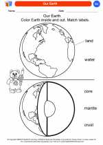 Our Earth
  Coloring Worksheet
 Reduce-Reuse-Recycle
  Coloring Worksheet
 Reduce-Reuse-Recycle
  Coloring Worksheet
 Rocks
Rocks  Coloring Worksheet
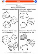 Rocks
Rocks  Coloring Worksheet
 Soil Beneath Our Feet
  Coloring Worksheet
 Soil Beneath Our Feet
  Coloring Worksheet
 Types of Fossils
  Coloring Worksheet
 Types of Fossils
  Coloring Worksheet
 Uses of Rocks & Minerals
  Coloring Worksheet
 Uses of Rocks & Minerals
  Coloring Worksheet
 Water, Water Everywhere
  Coloring Worksheet
 Water, Water Everywhere

 Coloring Worksheet
 Coloring Worksheet
 Coloring Worksheet
 Coloring Worksheet
 Coloring Worksheet
 Coloring Worksheet
 Coloring Worksheet
 Coloring Worksheet
 Coloring Worksheet
 Coloring Worksheet
 Coloring Worksheet
 Coloring Worksheet
 Coloring Worksheet
 Coloring Worksheet
 Coloring Worksheet
 Coloring Worksheet
 Coloring Worksheet
 Coloring Worksheet
 Coloring Worksheet

The resources above cover the following skills:
EARTH AND SPACE SCIENCE (NGSS)
Earth and Human Activity
Students who demonstrate understanding can:
Communicate solutions that will reduce the impact of humans on the land, water, air, and/or other living things in the local environment.