Geographic Information
Geographic Information refers to data about the physical location of natural and man-made features on Earth. This information is used to create maps, analyze spatial patterns, and make informed decisions about various aspects of the world. Geographic Information Systems (GIS) are used to capture, store, manipulate, analyze, manage, and present geographic data. These systems play a crucial role in fields such as urban planning, environmental management, emergency services, and many others.
Key Concepts
- Geospatial Data: This refers to data that is tied to a specific location on Earth's surface, such as coordinates, addresses, or postal codes.
- GIS Software: These are computer programs designed to work with geospatial data. They allow users to create and manipulate maps, perform spatial analysis, and visualize geographic information.
- Geographic Coordinates: These are the latitude and longitude values that pinpoint a specific location on the Earth's surface.
- Cartography: The art and science of making maps, including the representation of geographic information and spatial relationships.
- Spatial Analysis: This involves examining the relationships between geographic data to identify patterns, trends, and associations.
Study Guide
Here are some key points to focus on when studying Geographic Information:
- Understand the significance of geographic information and its applications in various fields.
- Learn about the different types of geospatial data and how they are used in GIS.
- Explore the functionality of GIS software and its role in creating maps and analyzing spatial data.
- Study geographic coordinates and how they are used to pinpoint locations on the Earth's surface.
- Gain an understanding of cartography and the principles of map design and interpretation.
- Examine the process of spatial analysis and its importance in uncovering patterns and relationships within geographic data.
By mastering these concepts, you will develop a strong foundation in Geographic Information and its practical applications.
.◂Social Studies Worksheets and Study Guides Third Grade. Geographic Information
Study Guide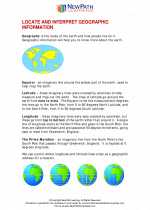 Geographic Information
  Worksheet/Answer key
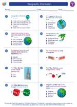 Geographic Information
  Worksheet/Answer key
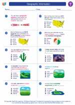 Geographic Information
  Worksheet/Answer key
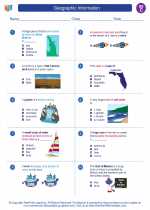 Geographic Information
  Worksheet/Answer key
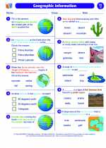 Geographic Information

 Worksheet/Answer key
 Worksheet/Answer key
 Worksheet/Answer key
 Worksheet/Answer key

The resources above cover the following skills:
Geographical and Historical Studies: People, Places, and Regions
Locate the continents on a map or globe.
Using vocabulary associated with geographical features of Earth, including hill, plateau, valley, peninsula, island, isthmus, ice cap, and glacier.
Locating major mountain ranges, oceans, rivers, and lakes throughout the world.
Relate population dispersion to geographic, economic, and historic changes in Alabama and the world.
Identifying human and physical criteria used to define regions and boundaries.