Geographic Information Systems (GIS)
A Geographic Information System (GIS) is a system designed to capture, store, manipulate, analyze, manage, and present spatial or geographic data. It allows users to create interactive queries, analyze spatial information, edit data, map results, and perform various other tasks.
Components of GIS
- Hardware: This includes the physical components such as computers, GPS devices, and data storage devices.
- Software: GIS software allows users to input, store, retrieve, manipulate, analyze, and output spatial data.
- Data: Spatial data includes information about the location and shape of geographic features, as well as non-spatial data such as population statistics, land use, and environmental factors.
- People: GIS involves professionals trained in geospatial analysis, as well as end users who utilize GIS applications for decision-making.
- Methods: These are the processes and procedures used to manage and analyze spatial data within a GIS.
Applications of GIS
GIS has a wide range of applications across various fields, including:
- Urban planning and development
- Environmental resource management
- Natural disaster management
- Healthcare and epidemiology
- Transportation planning
- Business and marketing analysis
Study Guide
Here are some key points to focus on when studying GIS:
- Understand the basic concepts and principles of GIS, including spatial data, layers, and geospatial analysis.
- Learn about the different types of GIS software and their capabilities.
- Explore real-world examples of GIS applications in different industries.
- Practice using GIS software to perform basic spatial analysis and create maps.
- Understand the importance of data quality, accuracy, and relevance in GIS.
- Stay updated on the latest advancements in GIS technology and its impact on society.
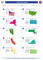
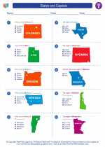
◂Social Studies Worksheets and Study Guides Fifth Grade. States and Capitals
Study Guide States and Capitals
  Worksheet/Answer key
 States and Capitals
  Worksheet/Answer key
 States and Capitals
  Worksheet/Answer key
 States and Capitals

 Worksheet/Answer key
 Worksheet/Answer key
 Worksheet/Answer key

The resources above cover the following skills:
Geography: A student should be able to utilize, analyze, and explain information about the human and physical features of places and regions. A student who meets the content standard should:
Understand that a region is a distinct area defined by one or more cultural or physical features.