Political Boundaries
Political boundaries are the lines that separate countries, states, provinces, or other areas of government. These boundaries can be natural, such as rivers, mountains, or oceans, or they can be man-made, such as lines of longitude and latitude or borders created by treaty agreements.
Types of Political Boundaries
There are several types of political boundaries:
- Natural Boundaries: These boundaries are formed by physical geographic features such as rivers, mountains, and oceans.
- Artificial Boundaries: These boundaries are created by people, often through treaty agreements or other political decisions.
- Geometric Boundaries: These boundaries are straight lines that do not relate to physical or cultural features of the land.
- Cultural Boundaries: These boundaries are based on cultural differences, such as language, religion, or ethnicity.
Functions of Political Boundaries
Political boundaries serve several important functions:
- They define the extent of a country's or state's territory.
- They establish the jurisdiction and authority of a government over a specific area.
- They can help to separate different cultural, linguistic, or ethnic groups.
- They serve as a basis for international relations and diplomacy.
Study Guide
Here are some key points to remember about political boundaries:
- What are the two main types of political boundaries?
- Give an example of a natural boundary and an artificial boundary.
- How do political boundaries impact cultural groups within a country?
- Explain the function of political boundaries in international relations.
Understanding political boundaries is essential for understanding the political and cultural dynamics of different regions and countries. It is also important for understanding the relationships between different countries and the impact of borders on global politics and economics.
.◂Social Studies Worksheets and Study Guides Fifth Grade. States and Capitals
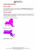
Study Guide States and Capitals
  Worksheet/Answer key
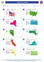
 States and Capitals
  Worksheet/Answer key
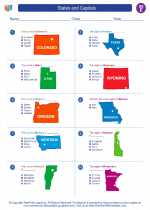
 States and Capitals
  Worksheet/Answer key
 States and Capitals

 Worksheet/Answer key
 Worksheet/Answer key
 Worksheet/Answer key

The resources above cover the following skills:
Geography: A student should be able to utilize, analyze, and explain information about the human and physical features of places and regions. A student who meets the content standard should:
Understand that a region is a distinct area defined by one or more cultural or physical features.