What is Topography?
Topography is the study of the shape and features of the surface of the Earth. It involves the measurement and description of features such as mountains, valleys, rivers, and other physical elements.
Why is Topography Important?
Understanding topography is crucial for various reasons. It helps in mapping and planning land use, assessing potential construction sites, predicting flooding and erosion, and understanding the distribution of natural resources.
Methods of Studying Topography
There are several methods used to study topography, including aerial photography, satellite imagery, and ground-based surveys using tools such as GPS (Global Positioning System) and LiDAR (Light Detection and Ranging).
Topographic Maps
Topographic maps are detailed representations of a specific area, showing its natural and man-made features. These maps use contour lines to represent the elevation and shape of the land, and they provide valuable information for hikers, surveyors, and urban planners.
Key Concepts in Topography
- Elevation: The height of a location above a reference point, usually sea level.
- Contour Lines: Lines on a map that connect points of equal elevation, helping to visualize the shape of the land.
- Relief: The difference in elevation between the highest and lowest points in a given area.
- Landforms: Natural features of the Earth's surface, such as mountains, hills, valleys, and plateaus.
Topography and the Environment
Topography plays a crucial role in shaping the environment. It influences factors like precipitation, temperature, and soil composition, which in turn affect the distribution of plant and animal life in a region.
.◂Science Worksheets and Study Guides Fourth Grade. Fossils and extinct animals

 Worksheet/Answer key
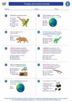
 Worksheet/Answer key
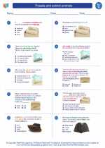
 Worksheet/Answer key
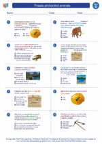
 Vocabulary/Answer key
 Vocabulary/Answer key
 Vocabulary/Answer key
 Vocabulary/Answer key