Geographic Information Systems
A Geographic Information System (GIS) is a system designed to capture, store, manipulate, analyze, manage, and present spatial or geographic data. GIS is used in a wide range of applications, from urban planning and environmental management to disaster response and public health. It allows users to create interactive queries, analyze spatial information, edit data, maps, and present the results of all these operations.
Key Concepts
- Spatial Data: GIS relies on spatial data, which includes location information such as coordinates, addresses, or zip codes.
- Layers: GIS organizes spatial data into layers, each representing a different type of information (e.g., land use, population density, transportation networks).
- Mapping: GIS allows users to create maps that visualize spatial data, making it easier to understand and analyze.
- Analysis: GIS enables spatial analysis, such as finding the shortest route between two points, identifying areas at risk of flooding, or determining the best locations for new facilities.
- Applications: GIS is used in various fields, including geography, urban planning, natural resource management, public health, and business.
Study Guide
Here are some key points to focus on when studying GIS:
- Understand the concept of spatial data and how it is used in GIS.
- Learn about the different types of GIS layers and how they are utilized in mapping and analysis.
- Explore the various applications of GIS in different fields and industries.
- Practice creating and interpreting maps using GIS software or tools.
- Understand the importance of spatial analysis and how it can provide valuable insights for decision-making.
By mastering these concepts, you will gain a solid understanding of geographic information systems and their practical applications.
Good luck with your studies!
[Geographic Information Systems] Related Worksheets and Study Guides:
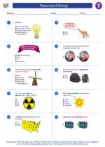
.◂Social Studies Worksheets and Study Guides Sixth Grade. Resources & Energy
Study Guide Resources & Energy
  Worksheet/Answer key
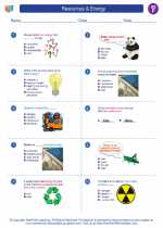
 Resources & Energy
  Worksheet/Answer key
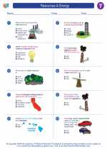
 Resources & Energy
  Worksheet/Answer key
 Resources & Energy

 Worksheet/Answer key
 Worksheet/Answer key
 Worksheet/Answer key

The resources above cover the following skills:
National Curriculum Standards for Social Studies (NCSS)
PEOPLE, PLACES, AND ENVIRONMENTS
SOCIAL STUDIES PROGRAMS SHOULD INCLUDE EXPERIENCES THAT PROVIDE FOR THE STUDY OF PEOPLE, PLACES, AND ENVIRONMENTS.
KNOWLEDGE - Learners will understand:
The theme of people, places, and environments involves the study of the relationships between human populations in different locations and geographic phenomena such as climate, vegetation, and natural resources.
Human modifications of the environment.