Geographic Information -> geographic information systems
Geographic Information Systems (GIS)
Geographic Information Systems (GIS) is a system designed to capture, store, manipulate, analyze, manage, and present spatial or geographic data. It allows users to visualize, interpret, and understand data in order to reveal patterns, relationships, and trends.
Components of GIS
- Hardware: This includes the physical components like computers, GPS devices, and other data-capturing tools.
- Software: GIS software enables users to input, store, retrieve, manipulate, analyze, and output spatial data.
- Data: Geographic data can include information about the physical environment, such as elevation, vegetation, and water bodies, as well as human-made features like roads and buildings.
- People: GIS involves people who collect, manage, and analyze geographic data, as well as those who make decisions based on the GIS output.
- Methods: These are the processes and procedures used to acquire, analyze, and present geographic information.
Uses of GIS
GIS is used in various fields including:
- Urban planning and development
- Environmental impact assessment
- Public health management
- Emergency response and disaster management
- Natural resource management
- Transportation and logistics
- Telecommunications
GIS in Education
GIS is also incorporated into education to help students understand geographic patterns, develop critical thinking skills, and learn about the interaction between humans and the environment. It can be used to create interactive maps, analyze historical trends, and understand spatial relationships.
Studying GIS
When studying GIS, it's important to understand the basic principles of geography, data management, and spatial analysis. Students should also become familiar with popular GIS software such as ArcGIS, QGIS, and Google Earth. Additionally, gaining hands-on experience with data collection using GPS devices and field surveys can be beneficial.
Understanding GIS can open up career opportunities in fields such as urban planning, environmental science, geography, and geology, among others.
[Geographic Information Systems] Related Worksheets and Study Guides:
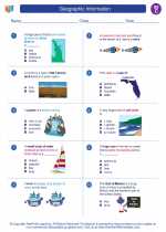
.◂Social Studies Worksheets and Study Guides Third Grade. Geographic Information
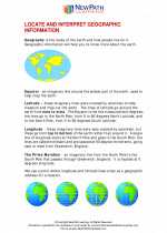
 Worksheet/Answer key
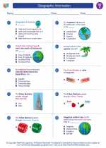
 Worksheet/Answer key
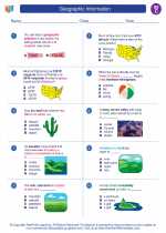
 Worksheet/Answer key
 Worksheet/Answer key