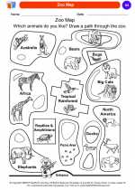
Cartography
Cartography is the study and practice of making maps. It combines science, aesthetics, and technique to create visual representations of the Earth's surface or any other area. Cartographers use various tools and technologies to accurately depict geographical features, spatial relationships, and other relevant information on maps.
Importance of Cartography
Cartography plays a crucial role in understanding the world around us. It helps in navigation, urban planning, natural resource management, and environmental conservation. Furthermore, maps are essential for conducting research, analyzing geographic data, and making informed decisions about land use and development.
Key Concepts in Cartography
1. Scale: The ratio of distances on a map to the corresponding distances on the Earth's surface.
2. Projection: The method used to represent the three-dimensional Earth on a two-dimensional map.
3. Legend: The key that explains the symbols and colors used on a map.
4. Topography: The shape and features of the Earth's surface, including elevation, mountains, valleys, and bodies of water.
5. Cartographic Symbols: Standardized icons and patterns used to represent various features on a map, such as roads, buildings, and vegetation.
Study Guide
- What is cartography, and why is it important?
- Explain the concept of scale in cartography.
- Describe the process of map projection and its significance.
- Why is a legend important on a map, and what does it contain?
- Discuss the role of cartography in urban planning and environmental conservation.
- Identify and explain three cartographic symbols commonly used on maps.
[Cartography] Related Worksheets and Study Guides:
.◂Social Studies Worksheets and Study Guides Kindergarten. Geography
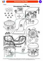
 Coloring Worksheet
 Coloring Worksheet
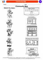
 Coloring Worksheet
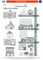
 Coloring Worksheet
 Coloring Worksheet
 Coloring Worksheet
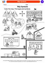
 Coloring Worksheet
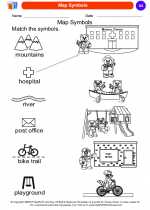
 Coloring Worksheet
 Coloring Worksheet
 Coloring Worksheet
 Coloring Worksheet
 Coloring Worksheet
 Coloring Worksheet
 Coloring Worksheet
 Coloring Worksheet
 Coloring Worksheet
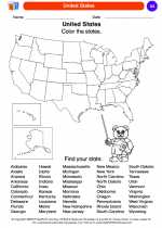
 Coloring Worksheet
 Coloring Worksheet
 Coloring Worksheet