Geography -> geographic information systems
Geographic Information Systems (GIS)
Geographic Information Systems, or GIS, is a technology that utilizes computer software to collect, manage, analyze, and display geographic data. GIS allows users to visualize, interpret, and understand data in the form of maps, globes, reports, and charts. It is widely used in various fields such as urban planning, environmental management, natural resource management, and public health.
Key Components of GIS
- Data: GIS relies on different types of data including spatial data (information about the location and shape of geographic features) and attribute data (descriptive information about the spatial features).
- Software: GIS software provides tools for creating, editing, analyzing, and visualizing geographic data. Common GIS software includes ArcGIS, QGIS, and Google Earth.
- Hardware: GIS requires hardware such as computers, GPS devices, and data storage systems to effectively process and manage geographic information.
- People: Skilled professionals such as geographers, cartographers, and GIS specialists are essential for utilizing GIS technology effectively.
- Methods: GIS involves various methods for data collection, analysis, and visualization, including remote sensing, GPS surveys, and spatial analysis techniques.
Uses of GIS
GIS is used in a wide range of applications, including:
- Urban Planning: GIS helps urban planners analyze and visualize data related to land use, transportation, and infrastructure to make informed decisions about city development.
- Environmental Management: GIS is used to monitor and manage natural resources, track wildlife habitats, and assess the impact of human activities on the environment.
- Emergency Management: GIS aids in disaster response and planning by mapping vulnerable areas, identifying evacuation routes, and coordinating emergency services.
- Public Health: GIS is utilized to track disease outbreaks, analyze healthcare accessibility, and identify areas at risk of environmental health hazards.
Study Guide
If you're studying GIS, here are some key topics to focus on:
- Understanding the concept of spatial data and its significance in GIS.
- Exploring the different types of GIS software and their features.
- Learning about the applications of GIS in real-world scenarios such as urban planning, environmental conservation, and public health.
- Understanding how GIS technology integrates with GPS and remote sensing systems.
- Exploring case studies that demonstrate the impact of GIS in various fields.
By mastering these topics, you will gain a comprehensive understanding of Geographic Information Systems and its practical implications in diverse industries.
[Geographic Information Systems] Related Worksheets and Study Guides:
.◂Social Studies Worksheets and Study Guides Kindergarten. Geography
Coloring Worksheet Amusement Park Map
  Coloring Worksheet
 Amusement Park Map
  Coloring Worksheet
 Community Map
  Coloring Worksheet
 Community Map
  Coloring Worksheet
 Map of a Home
  Coloring Worksheet
 Map of a Home
  Coloring Worksheet
 Map Symbols
  Coloring Worksheet
 Map Symbols
  Coloring Worksheet
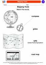 Mapping Tools
  Coloring Worksheet
 Mapping Tools
  Coloring Worksheet
 School Map
  Coloring Worksheet
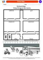 School Map
  Coloring Worksheet
 Street Signs
  Coloring Worksheet
 Street Signs
  Coloring Worksheet
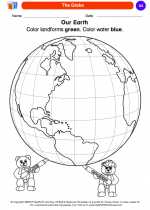 The Globe
  Coloring Worksheet
 The Globe
  Coloring Worksheet
 United States
  Coloring Worksheet
 United States
  Coloring Worksheet
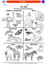 Zoo Map
  Coloring Worksheet
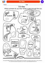 Zoo Map

 Coloring Worksheet
 Coloring Worksheet
 Coloring Worksheet
 Coloring Worksheet
 Coloring Worksheet
 Coloring Worksheet
 Coloring Worksheet
 Coloring Worksheet
 Coloring Worksheet
 Coloring Worksheet
 Coloring Worksheet
 Coloring Worksheet
 Coloring Worksheet
 Coloring Worksheet
 Coloring Worksheet
 Coloring Worksheet
 Coloring Worksheet
 Coloring Worksheet
 Coloring Worksheet

The resources above cover the following skills:
Social Studies, Kindergarten
Geography. The student understands the concept of location. The student is expected to:
Geography. The student understands physical and human characteristics of place. The student is expected to: